

Santa Clara County
Los Altos
A walkable downtown triangle and quiet residential streets
01 — Welcome
Welcome to Los Altos
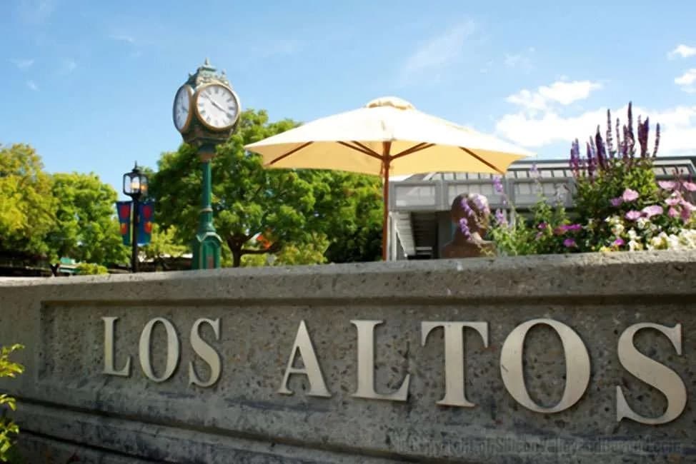
Los Altos sits between Mountain View and Cupertino on the Peninsula side of Santa Clara County, rising gently from El Camino Real toward the foothills. Its downtown is a compact triangle of Main Street, State Street and San Antonio Road lined with locally owned shops and restaurants.
Housing is predominantly single-family, from original mid-century ranch homes to newer rebuilds, many on generous lots. Condominiums and townhomes are concentrated near downtown and along El Camino Real, and the south Los Altos area around Grant Road and the Woodland branch library has its own neighborhood shopping.
02 — Things to do
Around Los Altos
- Downtown Los AltosThe walkable Main Street and State Street district, with independent shops, cafes, restaurants and year-round events organized by the Los Altos Village Association.
- Downtown Los Altos Farmers' MarketA seasonal Thursday-evening market on State Street, typically running from May through October.
- Redwood Grove Nature PreserveA six-acre preserve on University Avenue with a boardwalk and hillside trail along Adobe Creek under a stand of redwoods.
- Shoup ParkThe city's first park, dedicated in 1955, with a multi-use field, picnic areas and a playground beside Adobe Creek, connected by trail to Redwood Grove.
- Los Altos History MuseumA free museum behind the Los Altos Library on San Antonio Road, set in a remaining apricot orchard next to the restored 1905 J. Gilbert Smith House.
- Bus Barn TheaterA converted school bus barn on the Civic Center campus that is home to the Los Altos Stage Company's 99-seat theater.
03 — Getting around
Commute & transit
Los Altos is bordered by I-280 to the south and El Camino Real to the north, with Foothill Expressway and San Antonio Road as main north-south routes. There is no rail station in the city; Caltrain riders typically use the nearby Mountain View or San Antonio stations.
- VTA Route 40, with a stop at San Antonio Road and Edith Avenue near the Los Altos Library
- VTA Route 22 and Rapid 522 along El Camino Real
- Nearest Caltrain stations: San Antonio and Mountain View (in Mountain View)
City averages from Walk Score; scores for a specific address vary.
04 — Schools
Public school districts
- Los Altos School District · Elementary & middle (K–8)
- Cupertino Union School District · Elementary & middle (TK–8)
- Mountain View–Los Altos Union High School District · High school (9–12)
- Fremont Union High School District · High school (9–12)
School assignments depend on the exact address and can change. Confirm with the district before you buy.
05 — Local resources
06 — Questions
Which school districts serve Los Altos?
Is Los Altos close to Caltrain?
What housing options exist in Los Altos?
Sell with Diana
Thinking of selling in Los Altos?
Get a home value report built from recent Los Altos sales, personally prepared by Diana and emailed within 24 hours.